We offer a comprehensive suite of survey and mapping solutions, using innovative modern technologies. We deploy such leading survey technologies as Drone UAV solutions, which simplify the collection and analysis of geospatial data, allowing professionals in land surveying, architecture, and engineering to make better and timely decisions. We provide complete beginning-to-end geospatial services, including; spatial data collection, creation, and conversion; and geographic information system (GIS) implementation.
Under surveying, our services include:
- GIS and mapping (GIS asset mapping and surveying).
- GIS and remote sensing.
- GIS, geodetic, and total station surveys.
- Aerial/land surveys.
- Drone LiDAR surveys.
- Topographical surveys and digital mapping.
- Architectural surveys.
- Cadastral surveys.
- Mines and quarries.
- Environmental and natural hazard monitoring (Erosion monitoring).
- Engineering surveys and mapping i.e., establishment of GPS control points, detailed surveying, and development of digital terrain models.
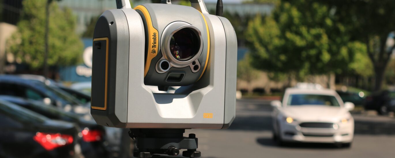
We supply high quality surveying and mapping equipment such as unmanned aerial vehicles (UAVs), RTK, theodolites, total station, side scan sonars, laser scanners, multi beam sonars, underwater remotely operated vehicles (ROVs), echosounders, subsea sensors, dredging sensors, drone aerial surveys, suitable for aerial surveys, topographical surveys, hydrographic surveys, bathymetric surveys, seabed mapping, underwater surveying, marine surveying, etc.
Our surveying team provides mapping services for Clients in various sectors. Our services range from data capture, acquisition, processing, analysis and final output. This is done using the latest technologies to meet Client requirements.